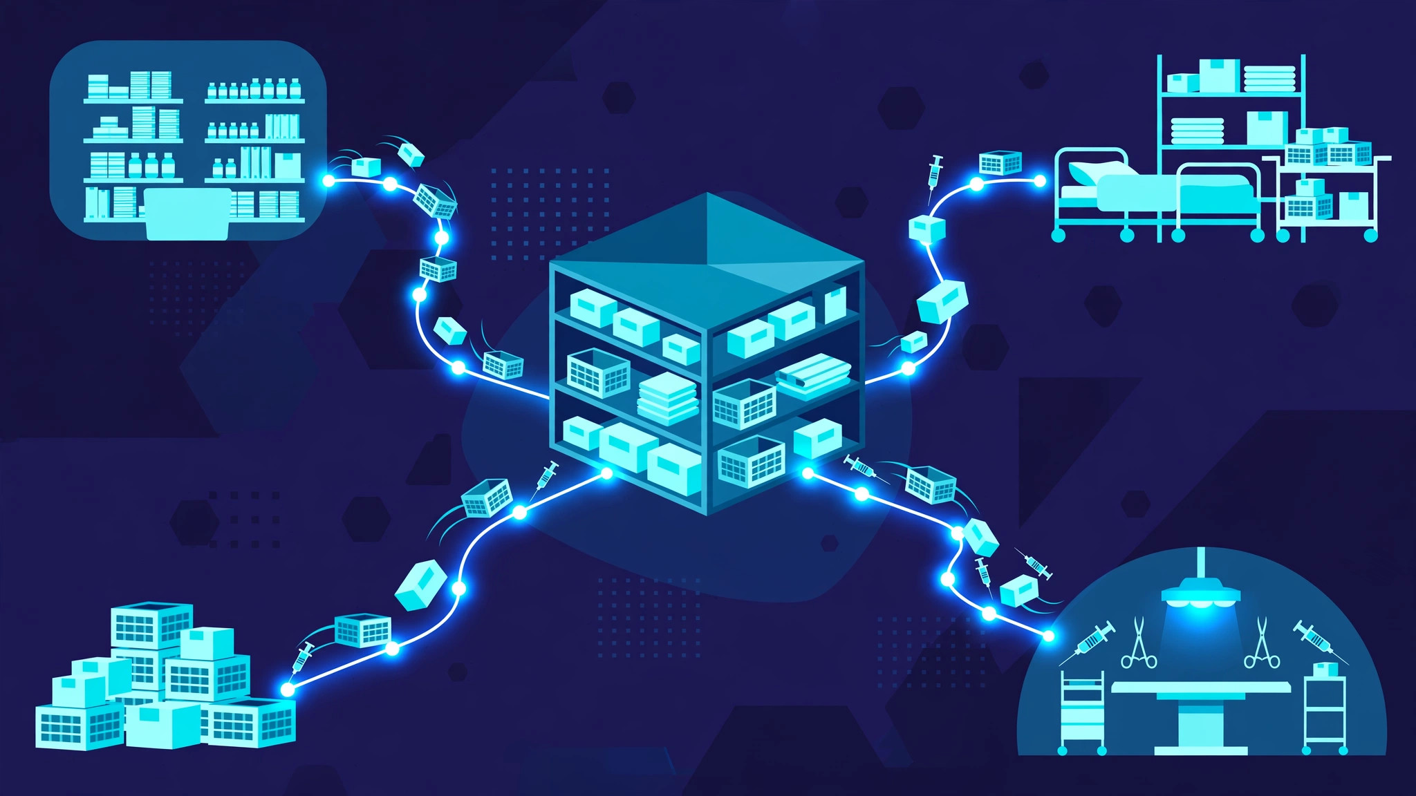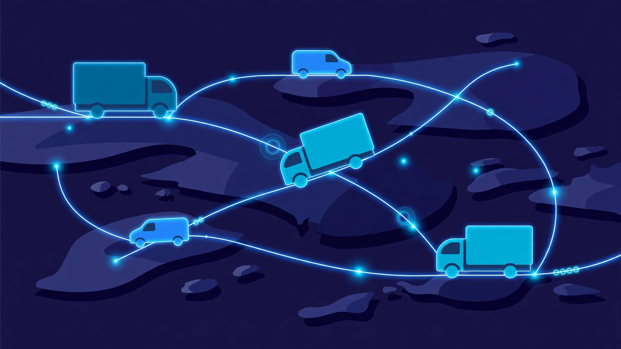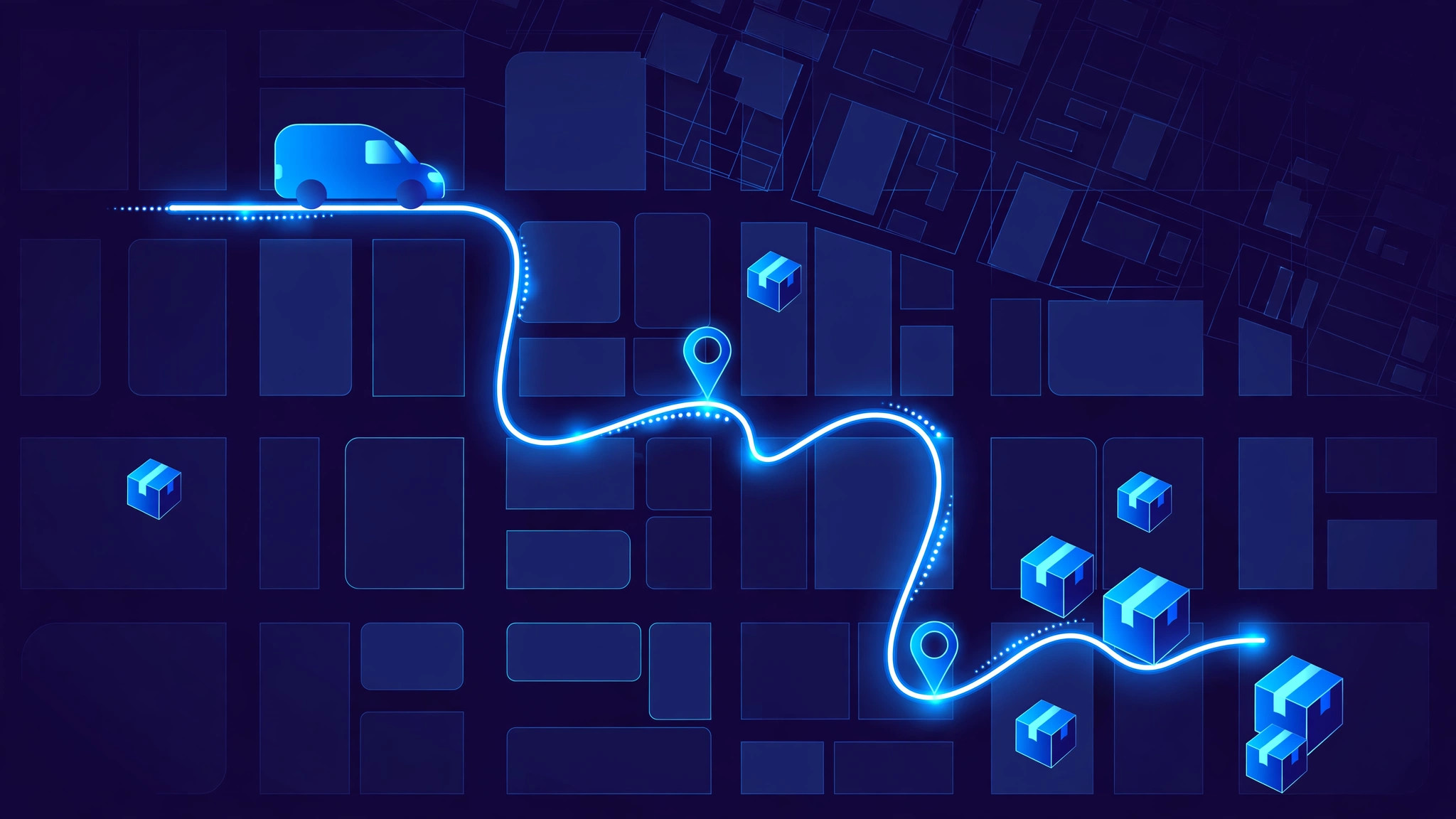
Last-mile delivery software works by turning the final leg of a delivery — from a depot, shop or dark store to the customer's door — into one connected workflow. Orders come in, the system assigns each one to the right driver, builds the most efficient route, tracks the driver live, and records proof that the parcel arrived. The customer sees a live tracking link and an honest arrival window instead of a vague promise, and the dispatcher sees every driver on one map instead of chasing phone calls.
This last leg is usually the most expensive part of shipping: one vehicle makes many stops, each with its own address, time window and access problem. A route planned in the wrong order, or a customer who is not home, can waste fuel, driver hours and a second trip.
From order to dispatch: one list, many drivers
Everything starts with orders, pulled from an online store, a marketplace or a warehouse system into one list, each with the address, phone number, parcel size and promised time window. Bad addresses are flagged early — a missing house number is far cheaper to fix before a driver leaves than after.
Dispatch is the decision of who delivers what. At any real volume the software assigns orders automatically, using rules the business sets: which drivers are on duty, what vehicle each drives, how much it can carry, which areas each driver covers, and which deliveries are urgent.
Orders are grouped into waves, and each driver gets a manifest on their phone: a stop list in order, with navigation and delivery instructions. A new urgent order can be inserted where it causes the least disruption, rather than sending a driver back across town.
Route optimisation: the maths behind the map
Route optimisation is the heart of last-mile software, and it is a harder problem than it looks. With just ten stops, there are millions of possible orders to visit them in. The software has to find a good order quickly, while respecting real constraints: delivery time windows, vehicle capacity, driver working hours, road restrictions for larger vehicles, and live traffic.
It works in two stages. First, it builds a route from road data — distances and drive times, not straight lines, since the nearest stop on a map can be the slowest to reach in traffic. Then it improves that route, swapping and reordering stops until total drive time, distance and cost stop falling. The result looks obvious on a map, but would take a person hours to work out by hand.
Optimisation does not stop when the driver leaves. If a road closes or a customer reschedules, the system re-optimises the remaining stops and pushes the new order to the driver's phone.
The driver app: the system in the driver's pocket
The driver app is where the plan meets the road. It shows the stop list in order with turn-by-turn navigation, and at each stop exactly what is needed: the parcel, the customer's name and number, gate codes, and notes such as "leave with the neighbour".
The app also works when the signal does not. Delivery routes often pass through basements, rural roads and buildings with poor coverage, so a good driver app stores the route offline and syncs each update as soon as the connection returns. Every status change — arrived, delivered, attempted, failed — is recorded with a timestamp, so the dispatcher and the customer are never guessing.
For the business, the app replaces paperwork: no signed slips to collect, no end-of-shift data entry, and no disputes about whether a stop was visited.
Live tracking: one map for dispatchers, one link for customers
While drivers are out, their phones send GPS positions every few seconds. The dispatcher sees the whole fleet on one live map: who is driving, who is stopped, who is running late. Geofences around addresses stamp arrival and departure automatically, without the driver tapping anything.
That live picture lets dispatchers act early. If a driver is stuck in traffic and will miss the next time window, the dispatcher can warn the customer, move a stop to another driver, or re-sequence the route before the problem becomes a complaint. Without live tracking, the first sign of trouble is usually an angry phone call.
Customers get a simpler version: a tracking link with a live map and an arrival window that narrows as the driver approaches. Automated messages mark the key moments — out for delivery, arriving soon, delivered — so customers rarely need to call to ask where their order is.
Proof of delivery and failed deliveries
Delivery is only finished when it is proven. Electronic proof of delivery captures, at the door, a photo of the parcel in place, a signature, the recipient's name, a barcode scan, or a one-time code from the customer — depending on what that stop requires. A high-value parcel may need a signature and a code; a routine drop may need only a photo. Each record carries a GPS location and a timestamp, so a photo alone never has to stand as proof: the system can show where and when it was taken.
Failed deliveries get the same discipline. If nobody is home, the driver records the reason and the stop is marked failed rather than left in limbo. The system then offers the next step: reschedule, redirect to a pickup point, or return to the depot. Cutting the failed-delivery rate is one of the fastest ways the software pays for itself, since a failed first attempt often costs a full second trip.
Frequently Asked Questions
What is last-mile delivery software?
It is software that manages the final leg of delivery, from a depot or shop to the customer's door. It covers dispatch, route optimisation, driver apps, live tracking, customer notifications and proof of delivery in one system.
How does route optimisation save money?
By visiting stops in the most efficient order, respecting time windows, vehicle capacity and live traffic. Fewer miles driven means less fuel, fewer driver hours, and more stops completed per route — and fewer failed deliveries means fewer expensive second trips.
Do drivers need a constant internet connection?
No. A well-built driver app stores the route offline and syncs each delivery update when the connection returns, so drivers can keep working through dead zones and the dispatcher still gets a complete record.
What counts as proof of delivery?
A digital record made at the door: a photo, signature, recipient name, barcode scan or customer code, always with a GPS location and timestamp. The right combination depends on the parcel — a signature for high-value goods, a photo for a routine safe-place drop.
Build your delivery system with InRay Labs
If you still plan routes by hand or chase drivers by phone, the problem is not your team — it is the missing system between your orders and your customers' doors. InRay Labs builds custom delivery, dispatch and tracking software for businesses that need it to fit how they actually operate, not the other way round. Talk to us about your delivery operation and we will map out what your system should look like.