Fleet tracking software works by turning every vehicle into a live data source. A small device in the vehicle fixes its position from satellite signals, adds engine and driving data, and sends the lot over the mobile network to a cloud platform. Managers then see the whole fleet on one map, get alerts when something goes wrong, and make decisions from real trips instead of phone calls and guesswork. It is not really about watching dots move on a screen. It is about knowing, at any moment, where each vehicle is and what it should be doing next.
From satellites to the dashboard: the basic loop
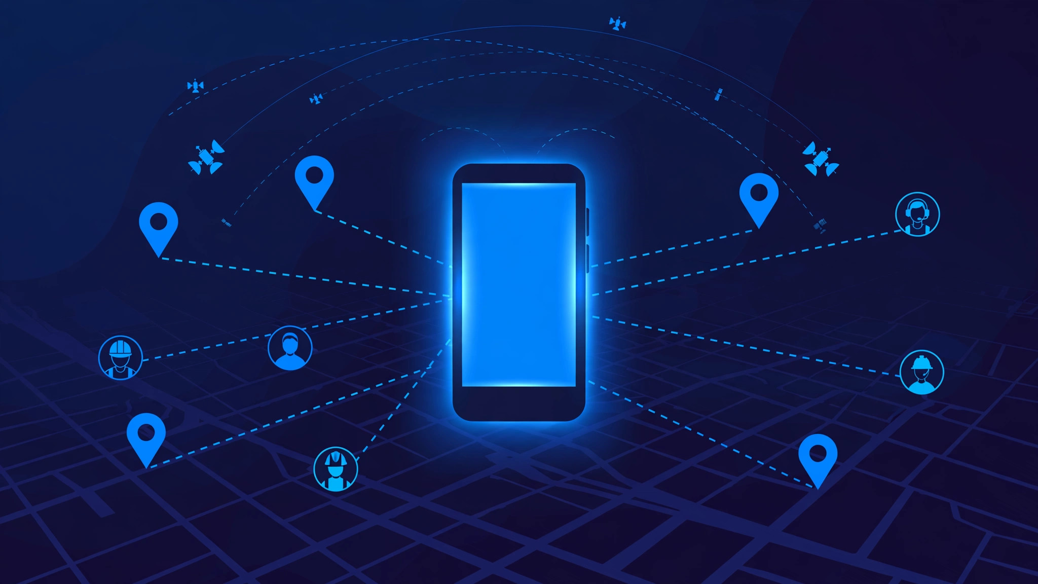
Every fleet tracking system runs the same loop, over and over, while a vehicle is on the road. First, the tracker receives signals from navigation satellites overhead and works out its position by measuring how long each signal took to arrive. Signals from at least four satellites give a reliable fix, usually accurate to a few metres in open sky. Second, the device bundles that position with the time, the speed and the direction of travel. Third, it sends the bundle to the cloud over a 4G or 5G mobile connection. Fourth, the platform decodes it, stores it, and draws it on a map. The loop then repeats, typically every 10 to 60 seconds.
That refresh rate is a trade-off: updates every few seconds give a smooth live map but use more data and battery, while updates every minute are cheaper and plenty for most delivery fleets.
The tracker in the vehicle
There are three common kinds. A plug-in tracker pushes into the vehicle's diagnostics port, the same port a mechanic uses to read fault codes, and installs in minutes. A hardwired tracker connects directly to the vehicle's power and is hidden away, which makes it harder to remove and better suited to trucks and plant machinery. A battery-powered tracker sticks to an asset with no power of its own, such as a container or a trailer, and wakes up on a schedule to report its position.
What separates a tracker from a simple location beacon is the second data stream: the vehicle itself. Through the diagnostics port, the device can read speed, engine fault codes, battery voltage, fuel level and odometer readings, while a built-in accelerometer detects harsh braking and sharp acceleration. Some devices add door or temperature sensors for cold-chain loads. All of this travels with the position data, which is why fleet tracking is often called telematics: telecommunications plus informatics.
Geofencing: turning location into alerts
A map full of moving vehicles is only useful if the system can tell a manager when something matters. That is what geofencing does: a virtual boundary drawn on the map around a real place, such as a depot, a customer site or a delivery zone. The platform checks every incoming position against every active geofence, and when a vehicle crosses a boundary, it fires an event.
The practical uses are straightforward. An entry alert tells a customer their delivery vehicle has arrived. An exit alert flags a vehicle leaving its assigned zone or a depot outside working hours, often the first sign of unauthorised use or theft. A dwell alert fires when a vehicle sits inside a geofence for longer than expected. Because the check happens on every position update, the delay between a crossing and an alert is usually seconds.
Live dashboards, ETAs and dispatch
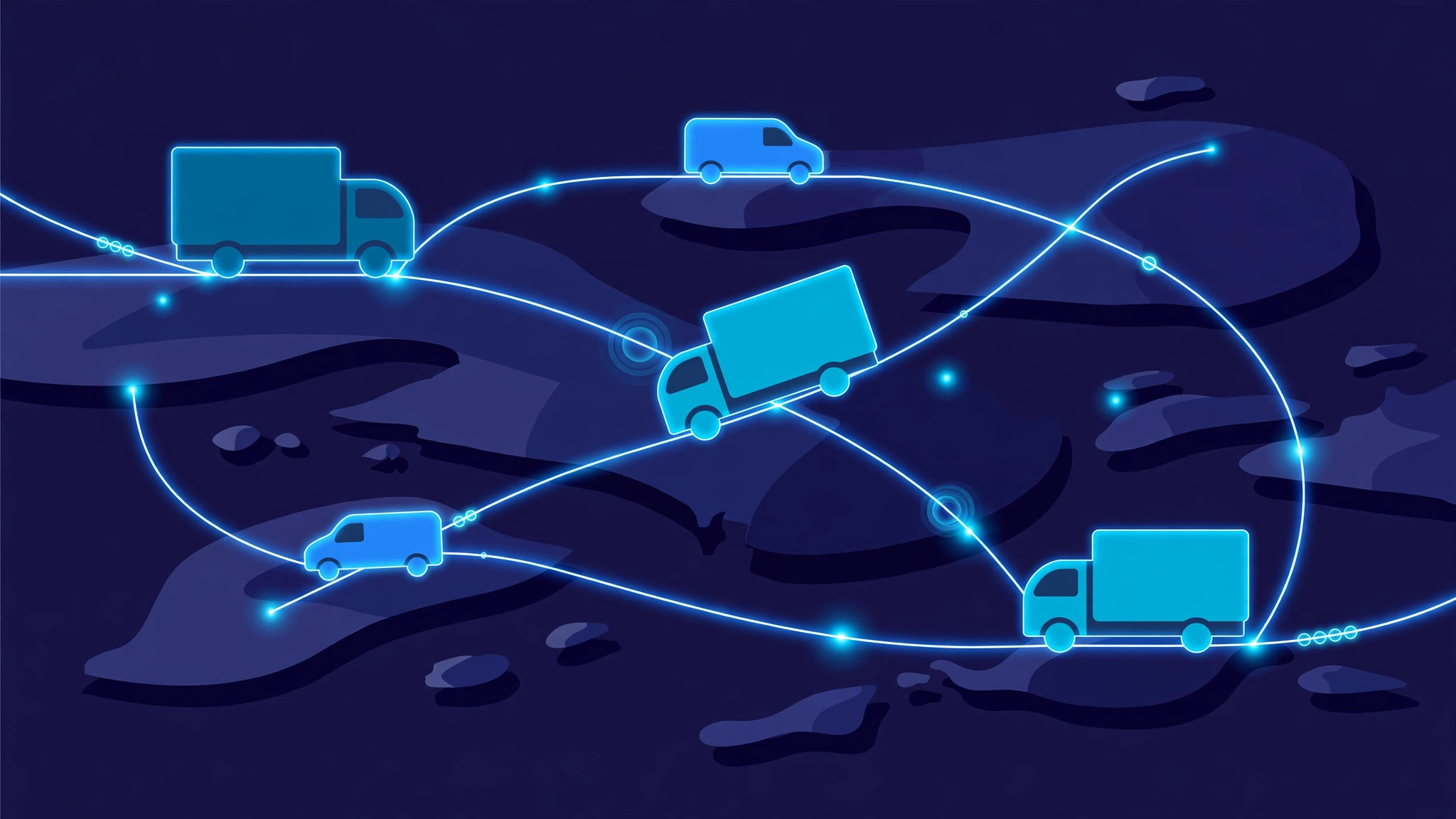
The dashboard is where the data becomes decisions. The main view is a live map with every vehicle, colour-coded by status: moving, idling, stopped, or offline. Alongside it, managers see trips, exceptions and alerts, and can click any vehicle to see its speed, its driver and its route so far. From the same screen, a dispatcher can send a new job to the nearest suitable vehicle instead of calling drivers one by one to ask where they are.
Accurate ETAs are the feature customers notice most. Because the platform knows the vehicle's live position and the route ahead, it can estimate arrival far more reliably than a schedule written in the morning, and update the ETA when traffic or a delay changes the picture. Over time, the same trip history becomes planning data: which routes consistently run late and how many vehicles each route genuinely needs.
Driver behaviour, fuel and maintenance
Location is only the first layer. The driving data that travels with it is where much of the money is saved. Speeding, harsh braking, rapid acceleration and long idling each cost fuel, wear out brakes and tyres faster, and raise accident risk. The platform turns these events into a simple score per driver, so coaching is based on evidence rather than opinion.
Fuel follows the same logic. By combining fuel-level readings with distance and idle time, the system reports fuel use per vehicle and driver, and flags sudden drops that can indicate theft or a leak. Maintenance becomes proactive: the platform tracks mileage and engine hours, reads fault codes as they appear, and schedules servicing before a small fault becomes a roadside breakdown.
What happens when the signal drops
No tracking system has perfect coverage. Vehicles drive through tunnels, car parks and rural stretches with no mobile signal, and satellite fixes weaken indoors. Well-built systems handle this without drama: the tracker stores positions locally while offline and uploads the backlog when the connection returns, so trip history stays complete. The honest limit is that "live" really means "as live as the last successful update", so a good dashboard shows how old each vehicle's last update is.
Frequently asked questions
How accurate is GPS fleet tracking?
In open sky, a typical tracker is accurate to within a few metres, which is plenty for knowing which road a vehicle is on or whether it has entered a site. Accuracy drops in tunnels, car parks and dense city streets until the satellite signal returns.
Do trackers need professional installation?
Plug-in trackers do not; they push into the diagnostics port in minutes. Hardwired trackers, better for trucks and equipment, usually need a short professional install because they connect to the vehicle's power supply and are fitted out of sight.
Is it legal to track company vehicles?
Tracking vehicles a company owns is generally lawful, but rules vary by country and drivers should always be told what is tracked and why. Personal vehicles and private use need consent and clear policy, so check local law before rolling a system out.
What does fleet tracking software cost?
Most providers charge a monthly fee per vehicle, covering the device, the mobile data and the software. The usual payback comes from fuel savings, fewer unauthorised trips, lower maintenance surprises and better use of each vehicle.
Building fleet tracking software with InRay Labs
Fleet tracking looks simple on the surface — a device, a map, an alert — but the hard parts are the ones users never see: reliable data ingestion at scale, clean trip and geofence logic, and dashboards that stay fast with hundreds of vehicles reporting every minute. Those are exactly the kinds of systems InRay Labs builds. If you run a fleet, or you are building software for one, talk to us.